Real deliverables · Free download

See for
yourself.

These are the files of a real survey, a Paris flat shot in 360°, exported straight out of PanoBuilder. Dimensioned 2D plan, 3D model, measurement report, navigable tour. No form, no sign-up: open them in your own software and judge for yourself.

8
360° shots
69
Dimensions on plan
±1cm
Measurement accuracy
0
Laser scanner
The pack

The files,
one by one

Every file downloads separately. The DXF is 1:1, in centimetres, ready for AutoCAD, BricsCAD, DraftSight or QCAD.
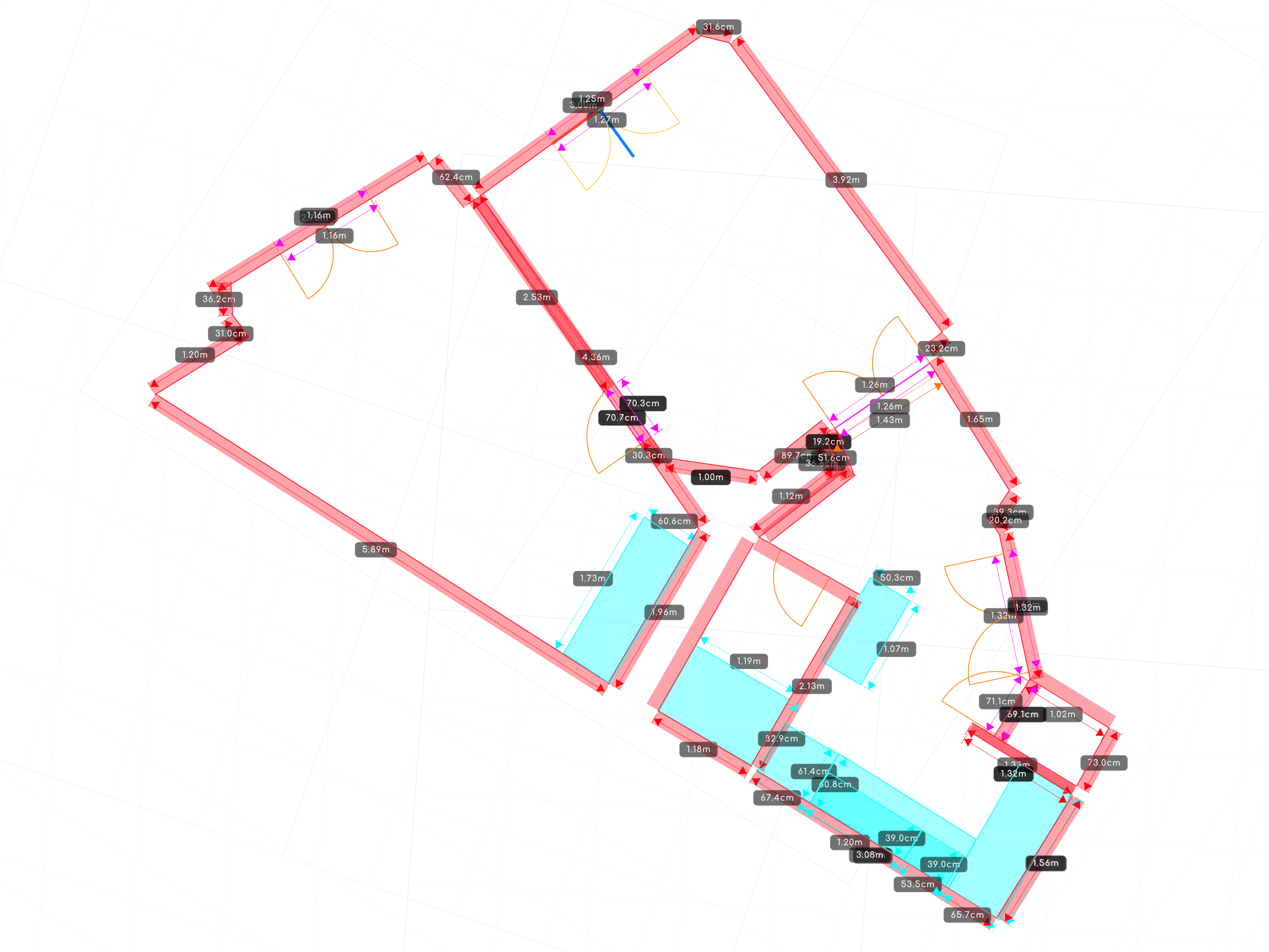
Dimensioned 2D plan of a Paris flat exported from PanoBuilder Dimensioned top view · footprint 10.85 m × 5.89 m · click for full resolution
DXF
Dimensioned 2D plan
AutoCAD R2000, 1:1, centimetres. Separate layers: walls, fill, openings, dimensions, volumes, areas. 114 KB
Download
DXF
Dimensioned 3D model
The same survey as 3D volumes, with dimensions, ready for your modeller. 205 KB
Download
PDF
Measurement report
5 pages: the plan, the 4 3D views and the full table of recorded measurements. 8.6 MB
Open
PNG
High resolution images
The dimensioned top view and the 4 3D perspectives, at full resolution. Included in the pack.
View the plan
ZIP
The complete pack
Every file above, plus a readme in French, English and German. 19.6 MB
Take it all
3D views

The surveyed volume,
from four angles

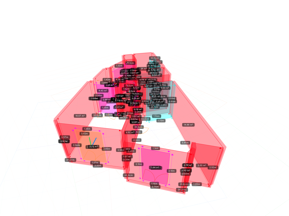
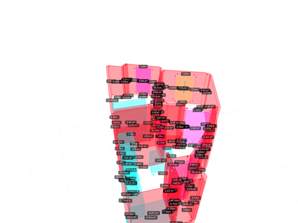
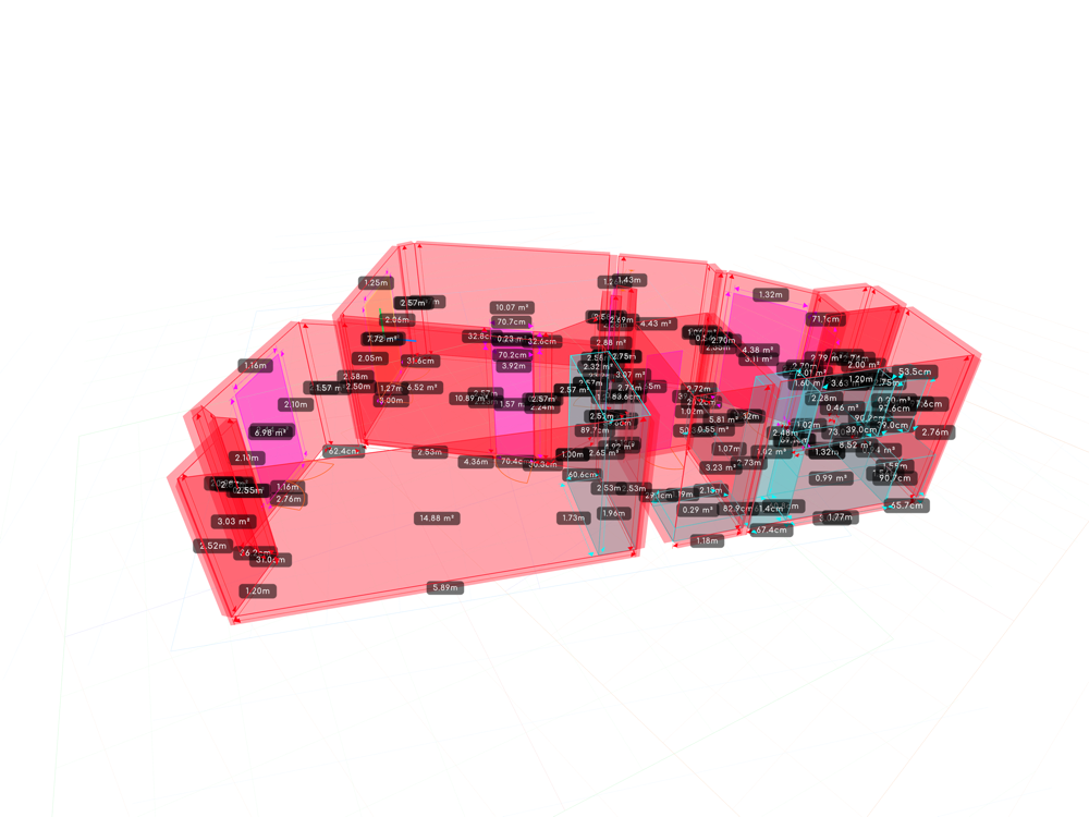
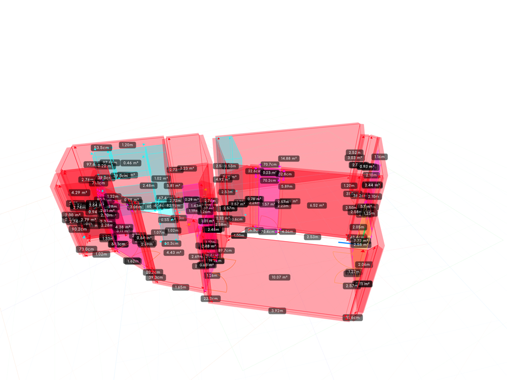
Walls, openings and volumes rebuilt from the 360° photos. Every label is a measurement taken on screen.

North-east 3D view of the PanoBuilder survey
North-East
North-west 3D view of the PanoBuilder survey
North-West
South-east 3D view of the PanoBuilder survey
South-East
South-west 3D view of the PanoBuilder survey
South-West
360° tour · Live

The same survey,
as a navigable tour

8 shots connected by 17 navigation links. The viewer is exported from PanoBuilder and hosted as is, no plugin, no install.

Paris flat · Live
📍👁⚙️
PanoBuilder viewer · ws.panobuilder.io Move from one bubble to the next
Method

How this survey
was produced

One consumer 360° camera, one computer, nothing else. No laser scanner, no drone, no total station.

01

Shoot

8 x 360° shots on site, one per area. A few minutes on location and the whole flat is captured.

02

Measure on screen

Back at the office, every wall, opening and volume is dimensioned directly inside the 360° photo. No transcribing, no redrawing.

03

Export

The 2D plan, the 3D model, the PDF report and the web tour all come out of the same project in one click. They are the files on this page.

Your turn

The same deliverables,
on your own spaces

Request the test version: we send it to you personally, with guidance to get started. Answer within 24 working hours.

Request the test version →